
Shared post from Ngāti Rangi
About Mangamingi Pā
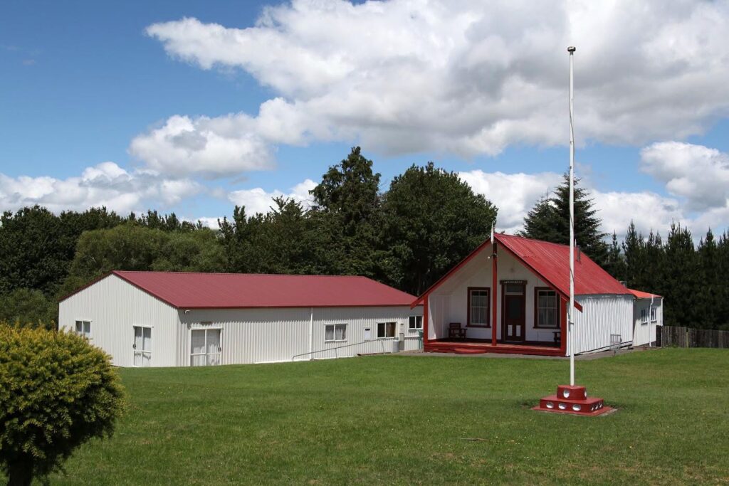
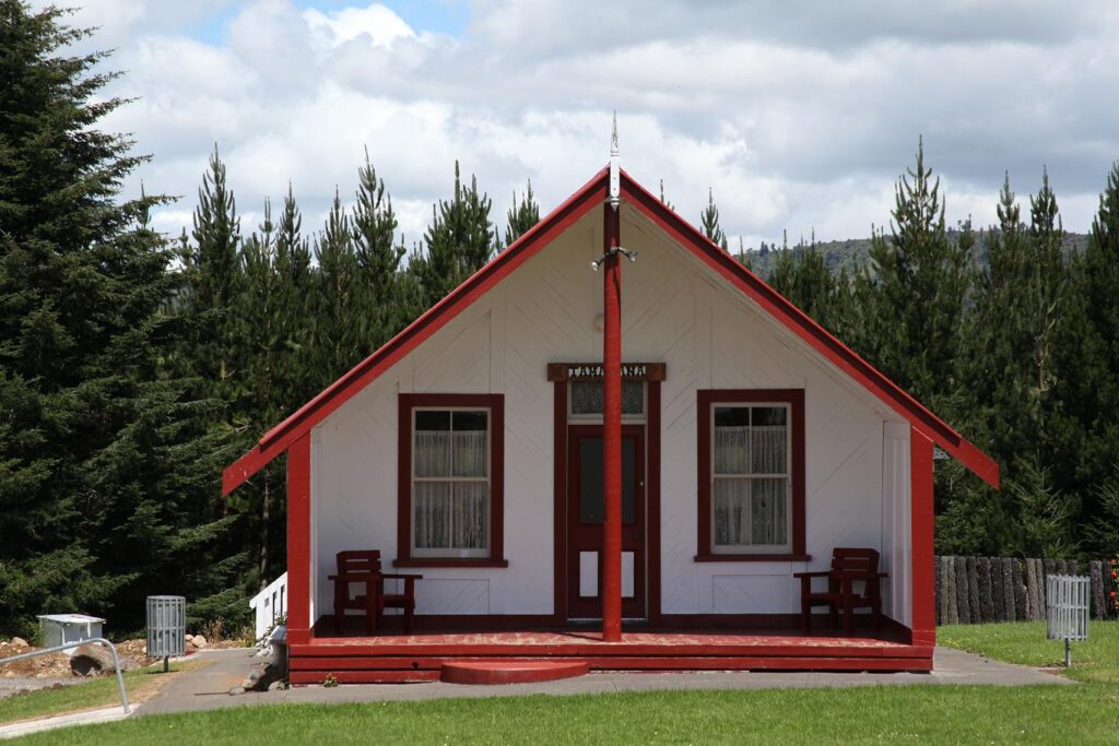
Begin your journey into the heart of Māori culture at Mangamingi Pā, a revered Marae in Raetihi, Manawatū-Whanganui. Nestled in the Ruapehu district, this sacred space serves as a vital Māori cultural venue, deeply rooted in the traditions and history of the local iwi (tribes). At the core of the Marae is the wharenui (meeting house), often intricately carved with ancestral stories, symbolising the enduring legacy of the community. Mangamingi Pā is more than just a physical location; it is a living embodiment of whanaungatanga (kinship) and a place where the spirit of togetherness thrives.
As a hub for various significant occasions, this Marae hosts a range of events deeply embedded in Māori life. Whether it’s hui (meetings) to discuss important matters, tangihanga (funerals) to honour the departed, or weddings to celebrate new beginnings, Mangamingi Pā offers a setting that respects and upholds cultural protocols. Visitors are welcomed with manaakitanga (hospitality), ensuring that all who enter do so with an understanding of the tikanga (customs) that govern this sacred space.
The Marae also provides practical accessibility considerations, reflecting a commitment to inclusivity while maintaining cultural integrity. For those looking to host events at a Marae in Raetihi, Mangamingi Pā stands as a meaningful choice, offering an authentic connection to Māori heritage.
Cultural Significance of Mangamingi Pā
Tap into the profound cultural significance of Mangamingi Pā, where the heartbeat of Māori tradition resonates through every gathering. A Marae is far more than a venue; it is the spiritual and social centre of Māori life, a place where identity, history, and community converge. At Mangamingi Pā, tikanga (Māori protocols) guides every interaction, ensuring that respect for ancestors, land, and each other is at the forefront of all activities. These customs are not merely formalities but living practices that strengthen bonds among whānau (family) and iwi (tribes).
The concept of manaakitanga (hospitality) is central to the Marae’s ethos, welcoming guests with warmth while fostering a sense of belonging through whanaungatanga (kinship). Events such as hui (community meetings) provide a forum for dialogue and decision-making, while tangihanga (funerals) offer a space to mourn and honour loved ones in a culturally grounded way. Weddings held at the Marae weave together modern celebrations with ancestral blessings, creating unforgettable moments steeped in tradition.
For those seeking a Māori community hub to engage in or host events, Mangamingi Pā offers a unique opportunity to participate in cultural ceremonies in Raetihi. However, it is essential to approach the Marae with humility and respect, adhering to protocols that may include a formal pōwhiri (welcome ceremony) or guidance from kaumatua (elders). By doing so, visitors contribute to the preservation of these cherished traditions while gaining a deeper understanding of Māori values.