A rough loop track and hard to find. But a worthwhile trip to a summit with good views
|
Walking time
|
3 hr – 5 hr |
|---|---|
|
Distance
|
4.6km |
|
Type
|
|
|
Grade
|
Easy/medium
Ends of track hard to find. Overgrown and no markers
|
|
Bookings
|
No — open access
|
|
Starts
|
State Highway 47 |
|---|---|
|
Ends
|
State Highway 47 |
|
Maps
|
NZTopo50-BH35
|
|
Altitude
|
638m – 1,182m
Altitude change 544m
|
 The tricky thing about this track is finding it. I will describe this route from north to south, even though this is the reverse of the way did it. The reason for that is that you will not find the southern end as it is not visible from the road side until you are on it.
The northern end is much more visible. There is a hole in the bush and a vehicle track a few metres long starting from a point where there is a slight widening of the tar seal, room for one or two cars to park. This very easily missed at highway speed so slow down.
 The track climbs gently through bush onto a spur to the north of Tihia. There are some informal markers but generally you are following the pad on the ground.
As the track nears the bush line it becomes rutted and scrubby but soon pops out onto the spur where there are a couple of rocky places to rest and enjoy the view to the north.
The track now continues to the top of Tihia through tussock and scrub. It is overgrown in places but well defined when you can see it.
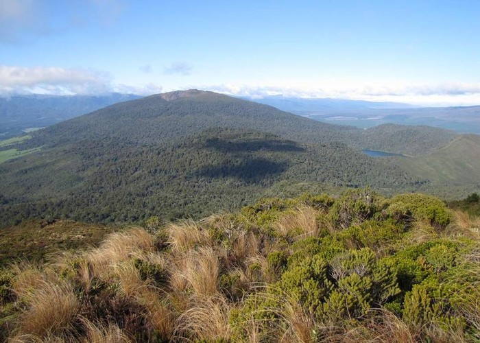
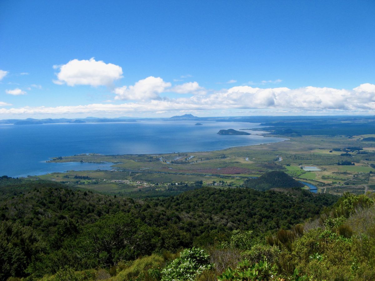
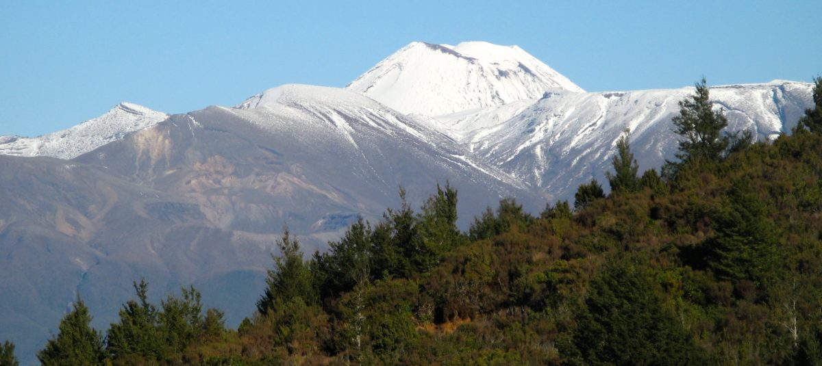
 At the top of Tihia the view of Tongariro, Lake Rotoaira, Pihanga and Lake Rotopounamu is added to the view you have already had of Lake Taupo, Turangi and Tokaanu.
The track continues past the summit to the south and is hard to find until you get to a descent through a rocky patch, marked by stone cairns.
Once again the track is eroded and overgrown as it passes through scrub. However the going becomes more pleasant in the bush. It then follows a descent down a broad ridge to the highway.
 At one point it pops out onto an old benched road which is marked on the map. This will be a relic of the construction of the tunnel between Lake Rotoaira and the Tokaanu power station, which is directly below our feet.
Only follow the track for about 50m and then turn downhill where a broken white highway marker lies beside the track.
It is a short distance from here to Highway 47, just to the south of the road summit. Memorise where you came out of the bush as this is the only way you will be able to find the track if you ever want to go in this way again.
