Since the recent 600+ cumec flood TRM has received more enquiries from anglers who displayed a complete lack of knowledge of the river behaviour so we promised to post a report to enlighten them!
As mentioned, after every flood TRM have to deal with our own “flood” of enquiries about the conditions. The usual questions: Is the river still fishable? etc… After so many cancellations for this weekend, TRM needs to update anglers whose knowledge of the Tongariro flow patterns is lacking… The short answer is that in this region there are always fishable rivers.
At the height of the flooding Didymo Dave suggested the Hinemaiaia. The TRM team from Auckland’s North Shore Club had a ball. From their descriptions, they must have hooked into over one hundred and all the biggest trout escaped. Sure, it was crowded, but everyone including novices hooked up even if they could not land them.
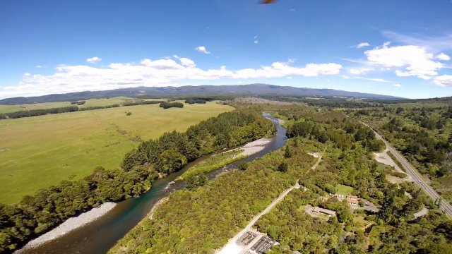
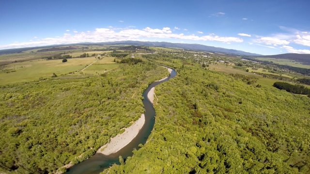
Anglers should try to understand a little about the Tongariro behaviour patterns, then they will not have to rely on SWMBO who has no idea either. The Tongariro River is quite unique due to much of the catchment in a volcanic national park. Very simply, anglers wading the river understand that the easiest wading is down the river. Those who remember the Breakaway Pool before and after the 2004 flood will appreciate the river can change course via a shortcut at any time.
The main source of our comments is the NIWA (National Institute of Water & Atmospheric Research Ltd. – based on Christchurch) report prepared in 2005. As the format does not permit any copies TRM have “summarised” the parts that we think might be relevant to anglers’ questions…
This last major report we are aware of was prepared after the 2004 flood. As this was the second “100 Year Flood” – the previous and biggest was in 1958 – the Waikato Regional Council prepared the report which was not allowed to be copied…
Trout fishing impacts are not considered anywhere in the report.
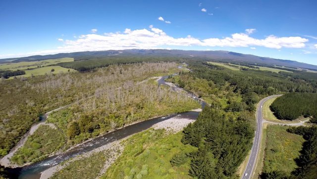
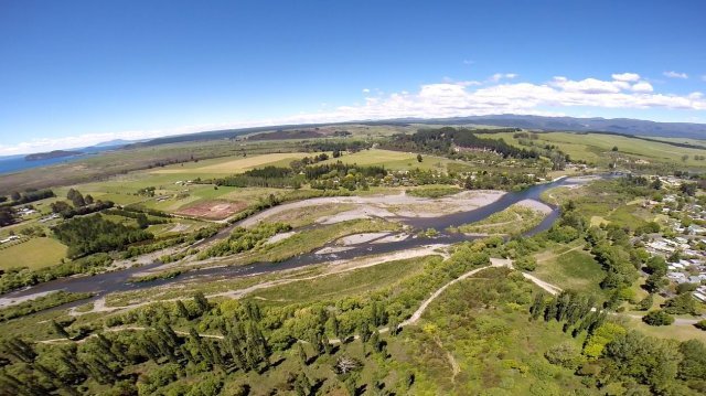
The usually controlled flow of the Tongariro River is about 22-25 cumecs. In February 1958 it reached 1470, in February 2004 it reached 1440 tonnes per second. During the February 2004 flood, they estimated around 95,000 tons of gravel (50,000 m3) were deposited between the SH1 bridge and De Latour’s bend. Because Lake Taupo was high at the time of the flood, less sediment was flushed into the lake. The lake level increased by about 22mm as a result of the storm. Last Friday the flow reached 615 cumbers which was the largest for at least five years.
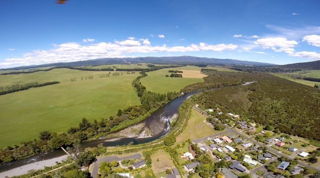
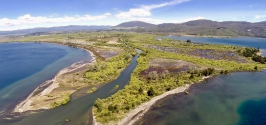
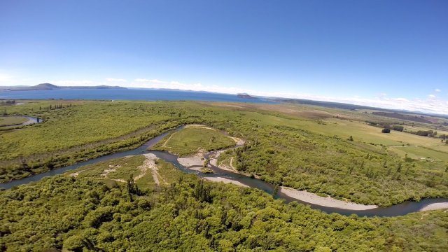
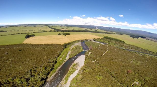
The 2005 NIWA report suggested the river was close to breaking out of existing channels to create a new course to Lake Taupo. Flood waters from the river upstream of De Latours Pool eastwards to Stump Bay (located at the end of Grace Road where the gate prevents entry to private land) and west towards the Tokaanu tailrace via Deep Stream. (located at the end of Te Awamate Road) The river level at the end of Awamate Road is higher than the ground level and contained or held back by a low stop bank.
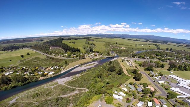
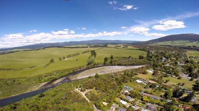
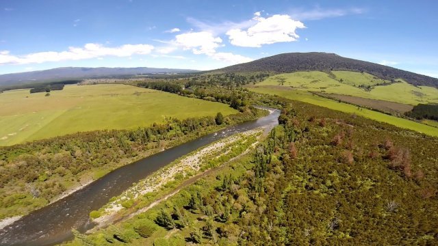
In the 1920’s the river near Turangi was braided with many channels that frequently changed position. Gravel extraction since the 1960’s has helped stabilise this reach and the river became confined to a much narrower channel. At least one million tons of gravel were extracted downstream of the SH1 bridge for the hydro project in the 1960’s. i.e. Between 1958 and 1984 the river changed, from 0.6 km upstream of SH1 bridge to just upstream of De Latours Bend, changing from a braided channel to a single thread, largely the result of gravel extraction.
Unless some form of intervention is engineered, they considered (in 2005) that the Tongariro will break out of its present channel during a future flood. The most probable location of the new Tongariro River mouth will be alongside the exit of the Tokaanu tailrace. Now you know why they shifted the marina to Motuoapa.