Mt. Ruapehu volcanic seismic tremors…
VOLCANIC ALERT BULLETIN:
 Ruapehu Volcano
Volcanic Alert Level 2 (change from Level 1)
Aviation Colour Code: Yellow (change from Green)
11:45 am Wednesday 11 May 2016
Volcanic gas output increases at Ruapehu, Volcanic Alert Level raised to Level 2
Recent visits to the volcano have confirmed an increase in the output of volcanic gas from Mt Ruapehu’s Crater Lake. Moderate levels of volcanic tremor continue and the lake temperature measured by the outlet data logger is 45 ºC. The increase in gas output, the high lake temperature and continued seismicity suggest that Ruapehu is at a higher level of volcanic unrest. As a result, GNS scientists revise the Volcanic Alert Level to Level 2 (moderate to heightened unrest). The Aviation Colour Code is also changed, from Green to Yellow.
We made two monitoring visits to Mt Ruapehu yesterday, one was a gas flight to measure the gas output and the other was to sample the Crater Lake water and make additional ground based gas measurements. Volcanic gas measurements indicate an increase in the amount of both carbon dioxide (CO
 2) and sulphur dioxide (SO2) output. The ground based gas measurements were complimentary to the airborne data.
Seismic activity at Mt Ruapehu is usually dominated by volcanic tremor. Since the volcanic earthquakes in late April the seismicity has been dominated by volcanic tremor at varying levels. The level of tremor has increased but is not exceptional in terms of the last few years.
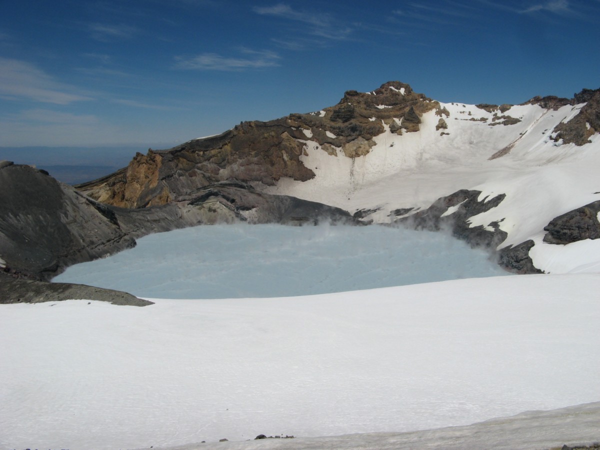
The temperature of the Crater Lake as measured by a data logger near the outlet has been rising and since mid-April 2016 and has risen from 25 °C to 46 °C. For the last couple of days it has ranged between 45 and 46 ºC.
 Taken together these data now indicate more volcanic unrest at Mt Ruapehu. The increased gas output coupled with high heat flow and volcanic tremor imply a higher likelihood of activity. At this time these changes at Ruapehu are considered sufficient to change the Volcanic Alert Level. The volcanic alert level for Mt Ruapehu is now raised to Volcanic Alert Level 2 (moderate to heightened unrest). The Aviation Colour Code has also changed, from Green to Yellow.
GNS Science volcanologists continue to closely monitor Ruapehu through the GeoNet project.
Geoff Kilgour
Duty Volcanologi
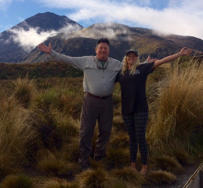
TRM have had several guests concerned about cancelling hiking trips on Mt. Ruapehu and the Tongariro Crossing following reports that the crater lake temperatures have increased to record levels since the last time a lahar burst the crater lake in 2007 (see history below). To reiterate, on 29 April, Geonet issued a volcanic alert reporting that the crater lake’s temperature has risen to 40°C, up from 25°C in mid-April. An earthquake swarm has also been recorded under the crater lake.
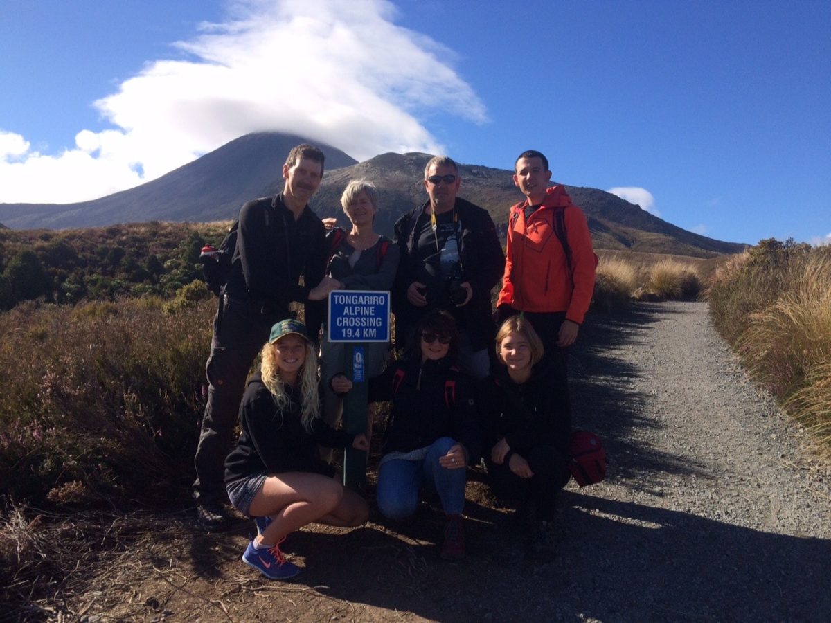 During summer months TRM have been promoting the trek to the summit as a good alternative and arguably a better choice than the Tongariro Crossing. There are many reasons why we prefer the climb to the crater lake such as to avoid the crowding on the Tongariro Crossing, a shorter walk – 10 km against 19km, better views, plus the ability to be able to turn back at any time, whereby on the Tongariro Crossing the car is parked at the finish so many have to continue even when the weather closes in and conditions deteriorate.
One of the best walks is the 2 hour loop trail to Taranaki Falls – which together with the loop walks around Lake Rotopounamu (2 hours) and Tongariro River Trail (1 hour) are TRM’s recommended alternative options for when the weather conditions make the Tongariro Crossing too difficult – i.e. when the shuttle bus firms cancel their services. We appreciate many guests have travelled a long way to tick that box on NZ’s most popular one day walk but consider the alternative options more than compensate.
At this time of the year, the ‘shoulder season’, the Ruapehu summit hike is a different proposition requiring better preparation (like crampons) and a guide is recommended or join a group for safety.
Below is a history of recent eruptions to indicate it is an active volcano so the recent increase in crater lake temperatures is not uncommon.
Recent history of Ruapehu eruptions:
1995-96
 Spectacular eruptions occurred during 1995 and 1996. Ruapehu had been showing signs of increased activity since late November 1994, with elevated crater lake temperatures and a series of eruptions that increased in intensity over about nine months. Several lahars were observed, both in the Whangaehu River and other areas of the mountain, between 18 September and 25 September 1995, indicating the crater lake was being emptied by the eruptions.
The Department of Conservation immediately issued hazard warnings and advised people to keep off the mountain, thus ending the ski season. The eruption cloud disrupted air travel, occasionally closing airports and the central North Island airspace. Black sand-like ash fell on surrounding farmland and stock had to be moved. The ash also entered streams and was washed into the pen stocks and turbines of the Rangipo power station causing rapid corrosion on the turbine blades which had to be rebuilt. Episodic eruptions continued until the end of November 1995.
 Another, smaller, eruption phase began on the morning of 17 June 1996. Despite a series of small eruptions that spread thin layers of ash across both Whakapapa and Turoa ski areas, the ski fields opened for the 1996 season. Turoa closed on 29 September – earlier than usual, while Whakapapa stayed open until Labour Weekend.
After the 1996 eruption it was recognised that a catastrophic lahar could again occur when the crater lake burst the volcanic ash dam blocking the lake outlet. This is the same mechanism that caused the 1953 lahar. The lake gradually filled with snowmelt and had reached the level of the hard rock rim by January 2005. The lahar finally occurred on 18 March 2007 (see below).
2006 eruption
Ruapehu erupted at 10.30pm on 4 October 2006. The small eruption created a volcanic earthquake at a magnitude of 2.8, sending a water plume 200 m into the air and 6-m waves crashing into the wall of the crater.[5][6]
2007 lahar
 Fresh lahar channels scar Ruapehu’s eastern slopes, 2007.
On 18 March 2007, the tephra dam which had been holding back the crater lake burst, sending a lahar down the mountain. An estimated 1.4 million cubic metres of mud, rock, and water travelled down the Whangaehu river. The Department of Conservation had received warning signals from the lahar warning system (ERLAWS) at around 10:30 that morning and closed all major roads in the area, preventing thousands of motorists from travelling, and shut down the main rail system for the North Island. The river banks held and no spill overs occurred. No serious damage was done and no one was injured. One family was trapped for around 24 hours after the lahar swept away the access route to their home.[7]
2007 eruption
 At about 8:20 p.m. on 25 September 2007, a hydrothermal eruption occurred without warning.[8][9] William Pike, a 22-year-old primary school teacher, had a leg crushed by a rock during the eruption and a rescue operation was mounted to rescue him from the Dome Shelter near the crater. The rock crashed into the Dome Shelter, landed on the man and was too heavy for his companion to lift off.
Two lahars that travelled down the mountain activated warning signals from the lahar warning system and prompted the evacuation of some ski lodges on the mountain and the closure of roads in the area. The eruption was accompanied by a 7-minute-long earthquake, measuring 2.9 on the Richter Scale.
2008 warnings
On 2 May 2008, a level-1 warning was issued after GNS scientists who were monitoring the lake found irregular signs of volcanic activity. This included increased chemical changes, gases and temperature. The warning was used to let visitors know the potential of an explosion was higher than usual and could happen at any time. This could also be a follow-up to the previous year’s 2007 eruption.[10]
A GeoNet New Zealand Bulletin was released on 21 July 2008 stating that “the current phase of volcano unrest appears to be over, however Ruapehu remains an active volcano. Future eruptions may occur without warning.”[11] However the level has remained at 1, where it has been since 1997.
2011 warnings
On 5 April 2011 Geonet changed Mount Ruapehu’s Volcanic Aviation Colour Code from Green to Yellow (elevated unrest above the known background). Ruapehu’s Volcanic Alert Level remained at level 1 (signs of volcanic unrest). The Volcanic Aviation Colour Code was changed because a sustained period of high water temperatures in the Crater Lake (approximately 38 – 39 °C) was observed and because changes were observed in volcanic gas output, seismic activity and Crater Lake water chemistry.[12]
2012 warnings
On 16 November, GNS Science volcanologists warned that pressure was likely building up beneath Crater Lake, and that an eruption in the coming weeks or months is more likely than normal.[13] The aviation colour code was raised from green to yellow.[14]
2016 warnings
On 29 April, Geonet issued a volcanic alert reporting that the crater lake’s temperature has risen to 40°C, up from 25°C in mid-april. An earthquake swarm has also been recorded under the crater lake.