The threat of aggradation causing the Tongariro River to flood Turangi is real. The historic factual background described by the Advocates for the Tongariro River was explained in TRM’s blog yesterday. It is time to adopt a protective strategy for Turangi. SWMBO’s solution (She Who Must Be Obeyed is the Manager of everything at TRM) was posted five years ago and is still applicable:
MAKE TURANGI GREAT AGAIN!
After reading all the drivel about low lake levels causes and effects etc. on the Taupo Community Noticeboard site – sent in by Toe Paw trouble maker Shirley – TRM’s (Tongariro River Motel) blog is obliged to comment…

While Lake Taupo is again at very low levels and the various pipes and canals bleeding the central plateau have been closed down for maintenance, it is an appropriate opportunity to reflect on some issues with a simple solution on how to “Make Turangi Great Again” – by charging the rest of the North Island for “our” water they are using.

Turangi enjoys the most perfect geographical location in NZ, halfway to everywhere in the North Island, where the snow-melt and rainfall from three National Parks have been redirected north via the Tokaanu Power Station, so this can easily be monitored to charge everyone downstream of Turangi for “our” 100% pure clear mountain fresh runoff.
(Ignore everything we have ever mentioned before about DOC sanctioned 1080 poison polluting the water supply!)
For anyone who imagines this might be a highly speculative plot by evil conspiracy theorists, we just have to remind you how many $millions of dollars Aucklanders are now desperately keen to pay for “our” water being redirected out of the Waikato River. So this blog is just to officially register our interest first and charge a teeny weeny $m3 rate before the flow spreads out into the hydro dam, aka Lake Taupo, and spills over the Huka Falls into the Waikato region.
Also, for confirmation to any dubious doubters, the upper reaches of the Tongariro River is officially listed on Geographical maps etc. as “Waikato River” and signposted as such where it crosses the Desert Road.
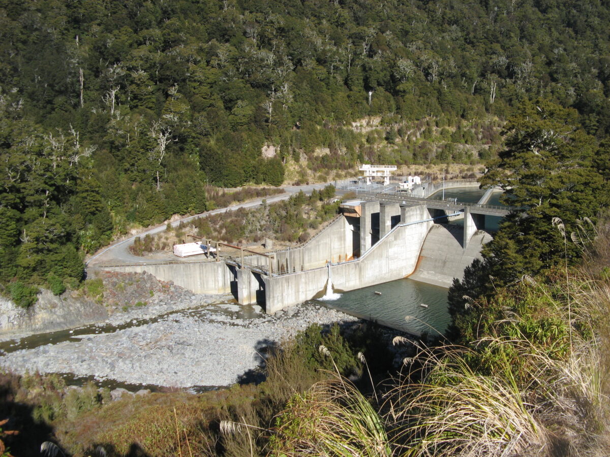
Warning – Toe Paw might prefer to charge an additional $rate as well for storing Auckland’s water in the hydro lake, but Turangi absolutely deserves first dibs. The key to the entire Tongariro Hydro scheme is the mighty Tongariro River, which is the main feeder into Lake Taupo. When the pipes and canals redirected other natural catchment runoff through the Tokaanu Power Station about 50 years ago, the capacity of Lake Taupo increased about 20%-25% (depends on which report to believe?). This also involved pinching about half the natural flow from the world-famous Tongariro River. Fifty years later, the major problems this has caused are now more evident.
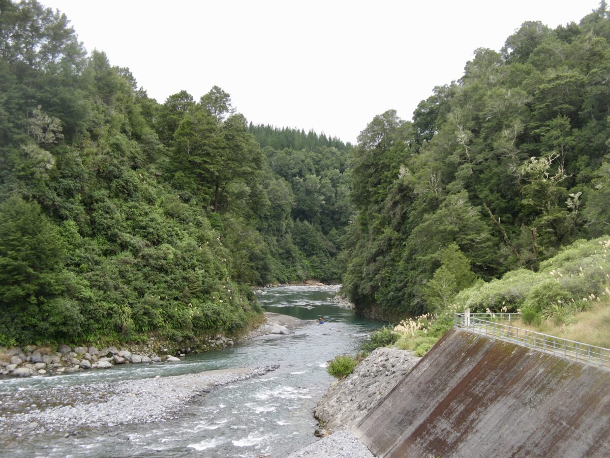
The reduced flow down the Tongariro River has resulted in serious “aggradation” in the Tongariro River, which now threatens Turangi. (Aggradation is the geological term for the increase in elevation due to the deposition of sediment. Aggradation occurs in areas in which the supply of sediment is greater than the amount of material that the system is able to transport.)
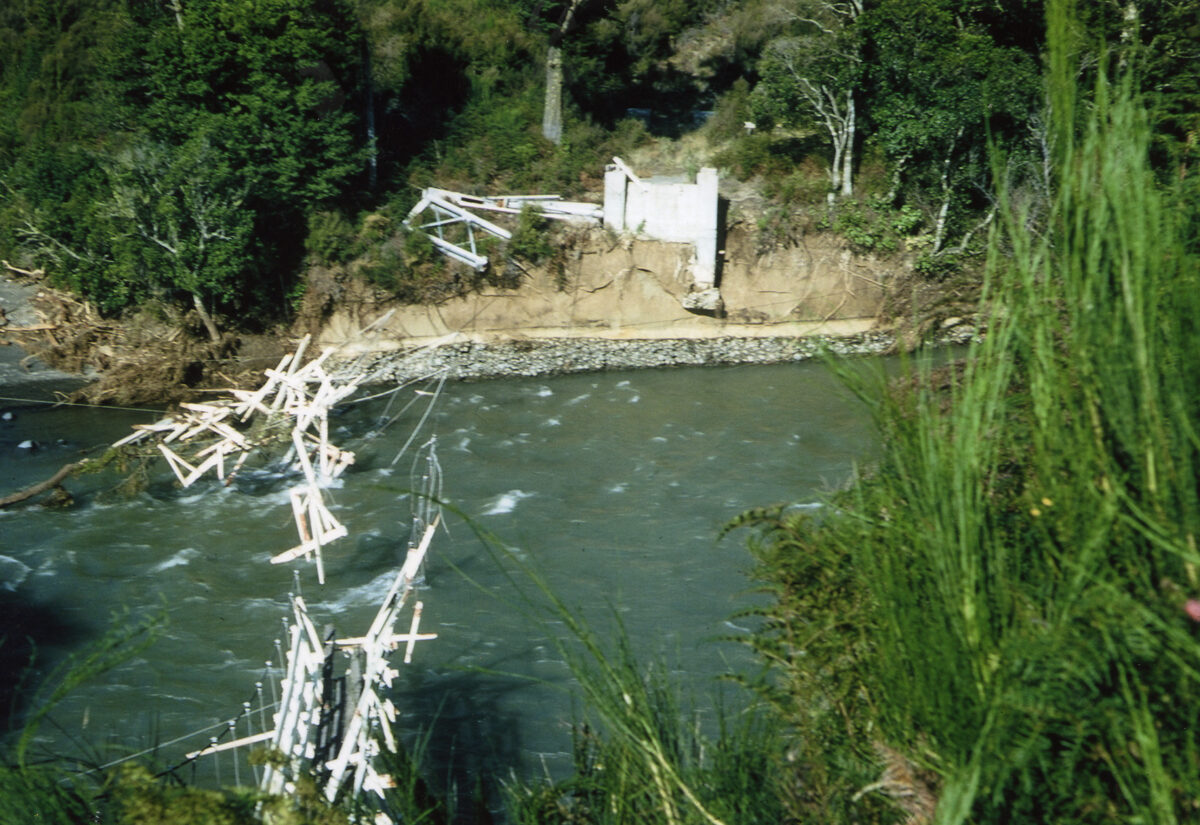
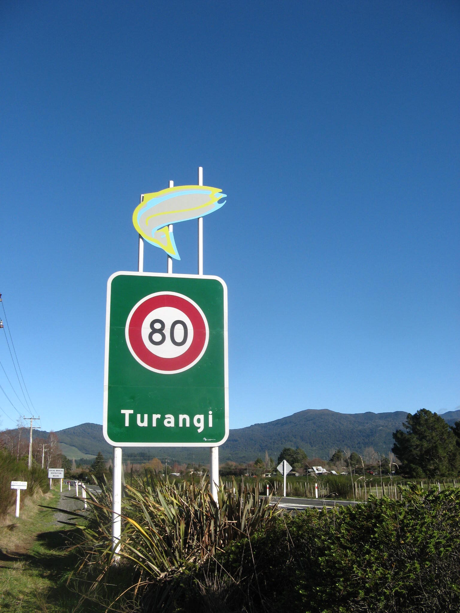
The eventual, inevitable result is that the river bed rises, and one day, Turangi could flood. The original residential location in Turangi, to the east of SH1, previously known as Taupahi, was fine and dry for 100 years before the Hydro Scheme and Turangi town were completed. It was previously almost unaffected by major floods (1958 & 2004) but now has been designated by Taupo Council as being located in a “flood hazard” zone.
But the danger is not from the Tongariro River, as the residential area is now protected by stop-banks, but from the flooded river hitting a “hydro dam” (aka Lake Taupo) at the delta due to the now much higher lake level. Then the river backs up and floods Turangi. Obviously if the lake was maintained at lower levels as at present, this would never occur. But more often, the lake level is adjusted to meet power requirements to feed all those electric blankets and electric cars up in Auckland, so it is held at an artificially high level for most of the year. That is when the aggradation increases and Turangi “flood hazard” zones are in danger.
It needs to be understood that during floods the Poutu canal, that redirects half the flow through the Tokaanu Power Station, is shut off to prevent the flood sediment and debris, such as abrasive pumice and ash, to travel along the canal to Lake Rotoaira and through the Tokaanu power station turbines. The dirty river then reverts to its natural higher flows, compounded by pinched floodwaters from other lakes and rivers, such as the Moawhango and Whakapapa/W(h?)anganui Rivers. You will never read that in the Power Company PR releases. In other words, they are the cause of the potential for flooding.
Historically, the conservation carnage and physical environmental vandalism to the scenic back country surrounding Turangi deserve some consistent measure of ongoing $ compensation. This has never been considered, until now…
If JAFA’s (Just Another Fantastic Aucklander) are to pay an additional levy to Waikato interests for their water supply, then it is only fair and reasonable that the source of their supply be adequately compensated too.
Now it is time to identify a new constant source of revenue to compensate and develop new tourist walk/bike trails to link Turangi with the rest of the world. They will generate a constant supply of tourists to secure the economic recovery and future of Turangi.