More on TRM’s blog yesterday…
TRM’s blog suggesting other preferable options to the Tongariro Crossing was confirmed by more complaints from tourists about the crowding and access/parking hassles on the crossing. So this provides a few more options which we do not get complaints about!
At the moment it could not be better for tramping the Tongariro Crossing. SWMBO’s specification – (She Who Must Be Obeyed turns into a tourist track consultant at this time every year) insists on fine sunny warm without wind, clear skies for photos of views, and not too many tourists mid-week. Afterwards they were very grateful… But the other options need to be considered too.
Particularly if the weather is marginal it is better to take one or two or three of the alternatives – rather than get caught out when the conditions deteriorate on a 20 km exposed alpine walk in the sleet and ice with no other options but a survival course to the finish. The NZ Mountain Safety Council released a new video which advises that extreme weather, terrain and distance have resulted in this track having more search and rescues than any other track in NZ. So you have been warned. OK?
Recently the shuttle bus operators cancelled several days due to unfavourable weather conditions. This is not uncommon at higher altitudes. To provide for changeable weather issues, visitors need to have several “Plan B options” and be aware of the wide variety of other scenic tracks available at lower altitudes that remain accessible when the Tongariro Crossing conditions look too difficult. The Tongariro Crossing captures all the publicity while these alternative options are never promoted enough.
In the Tongariro National Park region a combination of smaller loop walks provide a much better substitute anyway. There are no parking or delaying or crowding hassles and they offer more flexibility and choice if the weather packs in.
PLAN B
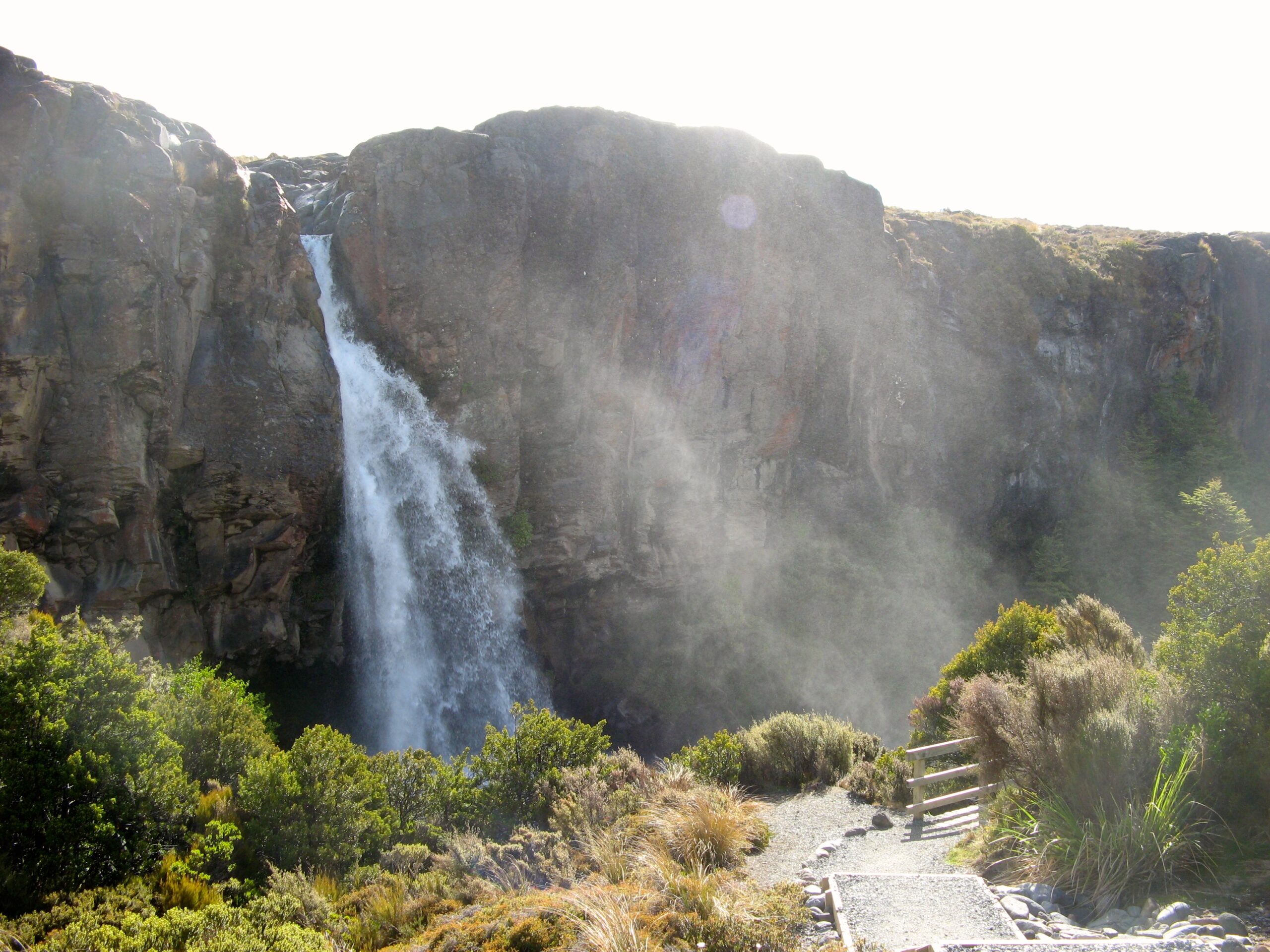
Taranaki Falls is signposted and accessed from the short street immediately behind the Chateau. This provides a two-hour loop walk in the clockwise direction combining a bush walk to a spectacular waterfall and a more exposed alpine walk to return. Don’t forget to walk under the waterfall as well! For those feeling fit the walk can be extended to Tama Lakes. There are a choice of cafes at Whakapapa to help your recovery, or drive to the top of the road and take the Sky Waka gondola up to the highest cafe in the southern hemisphere. That combination has to be as good as the Tongariro Crossing.
PLAN C
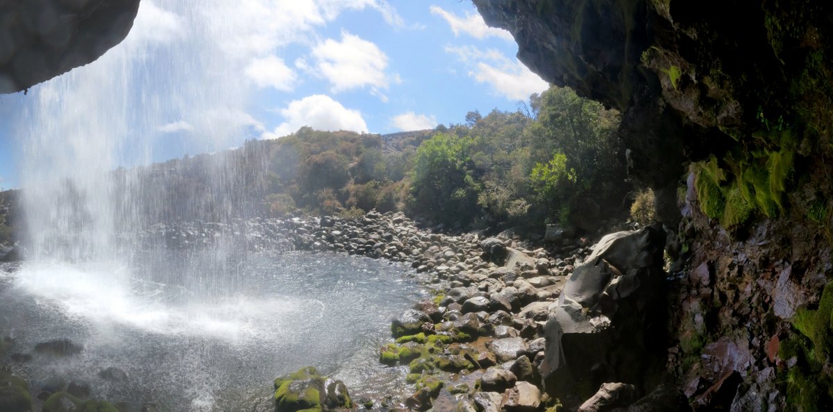
Tawhai Falls. A compulsory 10 minute visit for all LOTR fans – If you are into waterfalls then on your return, a second shorter walk nearby to Tawhai Falls is well worthwhile. (At the base of the waterfall tourists can identify the stone that Gollam sat on to eat his trout!)
PLAN D
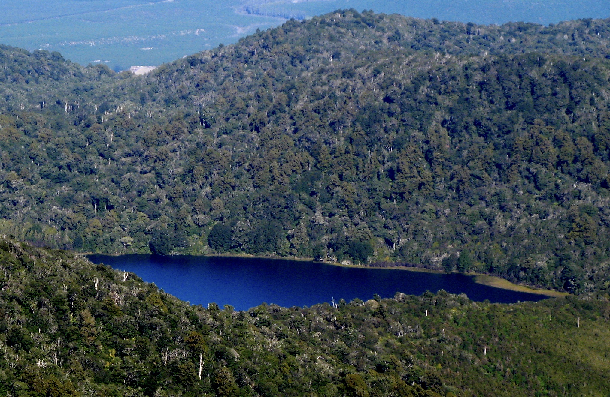
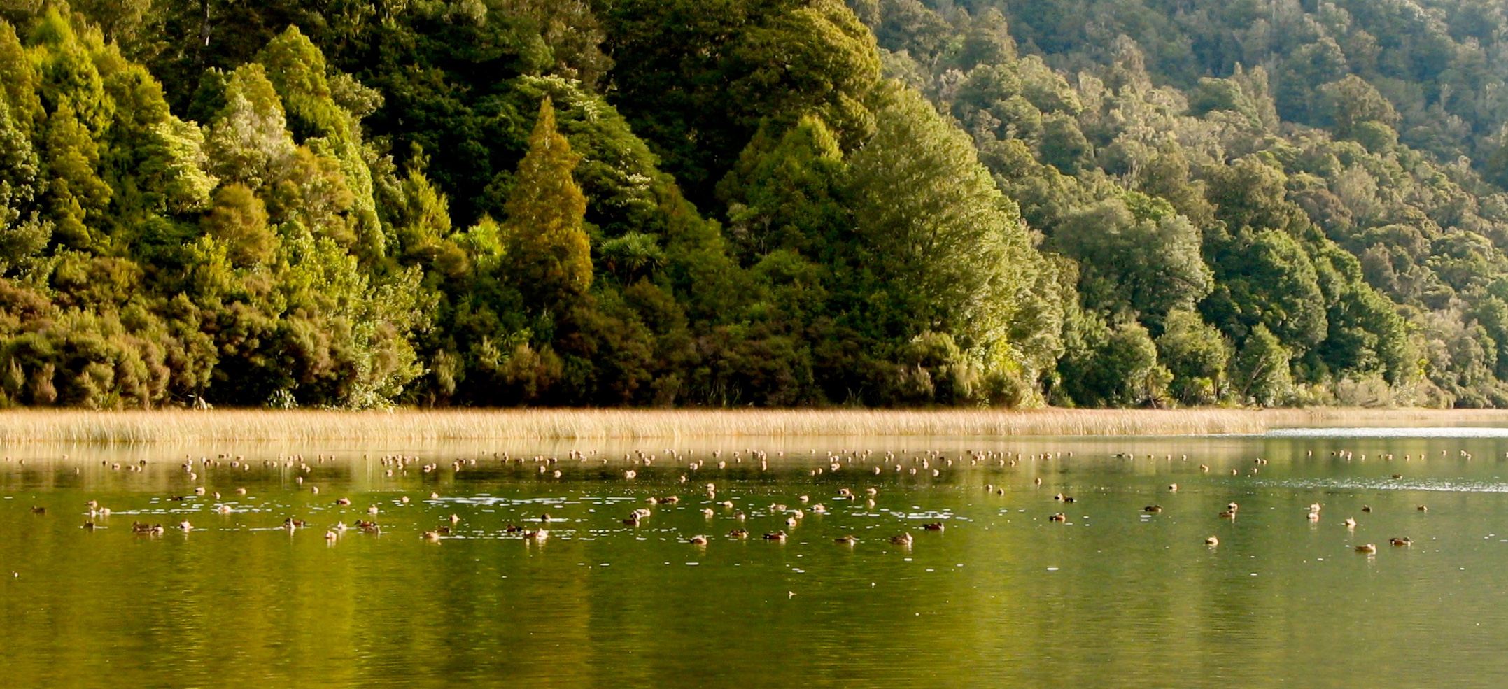
Lake Rotopounamu On the return trip on SH47 stop off at the hidden Greenstone Lake for another two-hour loop walk in virgin native bush – so sheltered on windy days and very scenic.
PLAN E
Tongariro River Trail After about four hours of walking that might be enough? If so, head for the Tokaanu thermal pools. If not, return to TRM and walk the river loop for another hour. From the northern 40 minute loop the views stretch down the lower Tongariro River to Lake Taupo beyond. The longer two hour southern loop down to Red Hut Bridge features more variety with river views and a visit to the Trout Centre is compulsory.
PLAN F
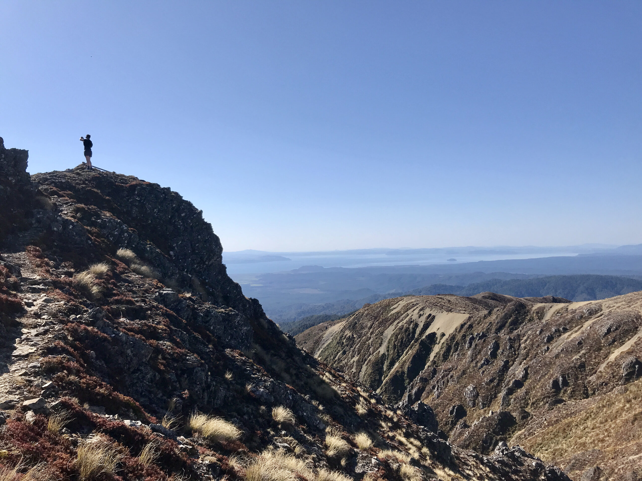
Kaimanawas . Another big day out is the Kaimanawas where there is a choice of two tracks – Urchins Track or Umukarikari tracks. For keen fit trampers they can go up one and down the other. The views over Lake Taupo and beyond from the top are extraordinary. If this was located in the South Island it would be promoted as one of NZ’s “great walks”. It is that good!
PLAN G
Mt Tihia is another option on SH47. This is unmarked with no signage. Good views are available over Lake Rotoaira. More info is available from TRM.
PLAN H
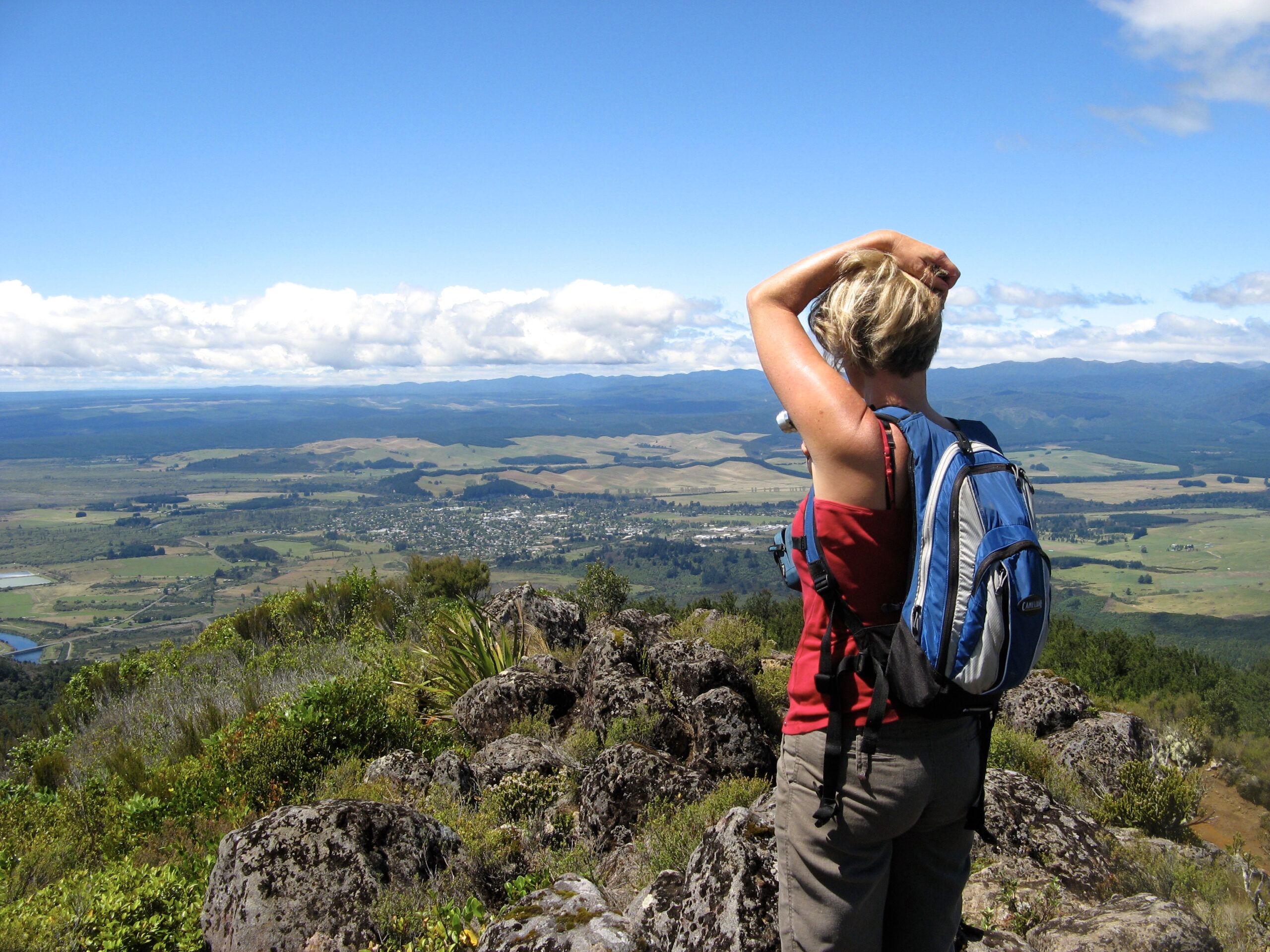
Mt Ruapehu The biggie and the best has been saved for last…

If you are fit enough to comfortably tackle the Tongariro Crossing 20+ km then you should seriously consider climbing to the summit of Mt. Ruapehu – the highest mountain in the North Island. The distance is less and the views far better. But you need to select a really fine day with no wind.
If you need advice on any of the National Park trails then the best person to ask is a shuttle bus operator who is up there every day – do not rely on SWMBO!
Contact Colin at Scenic Shuttles for all information on the condition of the trails, weather forecasting, advice on the Department of Conservation policies and the meaning of life – see photo below: phone: 020 4111 4648

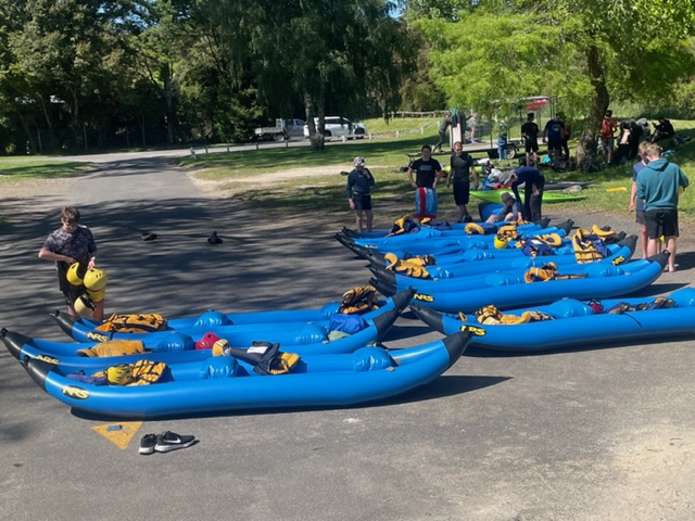
But there are still more options… Last is a completely different activity – this end-of-term school big-day-out canoed down the Tongariro River in 12 inflatable canoes yesterday. What a great fun way to see the river.