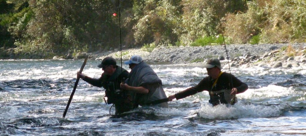
 Anglers need to take special care with any Tongariro wading over the next week.

 The Tongariro will be flowing at full natural flow – double the “normal” @ 45-50 cumecs or more if there is rain in the catchment area (Kaimanawa National Park) for the next week. TRM cannot afford to lose guest fishos so we issue them all with strong wading poles (x-ski poles) with a lanyard to loop around their neck to make sure they do not lose it.
Wading belts and strong boots with metal studs are compulsory to prevent slipping on boulders. I have also found that the bulky chest waders make it worse – if in doubt try wet wading (i.e. without waders). You will be surprised at the difference in stability. At this time of the year the Tongariro water is not too cold – just a bit wet.
 Below is a diagram to show the cross section of a typical river. What the diagram does not show (I have not been able to find an easy-to-read or definitive diagram) is that the top level of the river (orange) flows much much faster than the dark blue to the first foot or so above the river bed. So the speed of the flow at the top level is exaggerated.
(Nature designed it this way to challenge wet liners.)
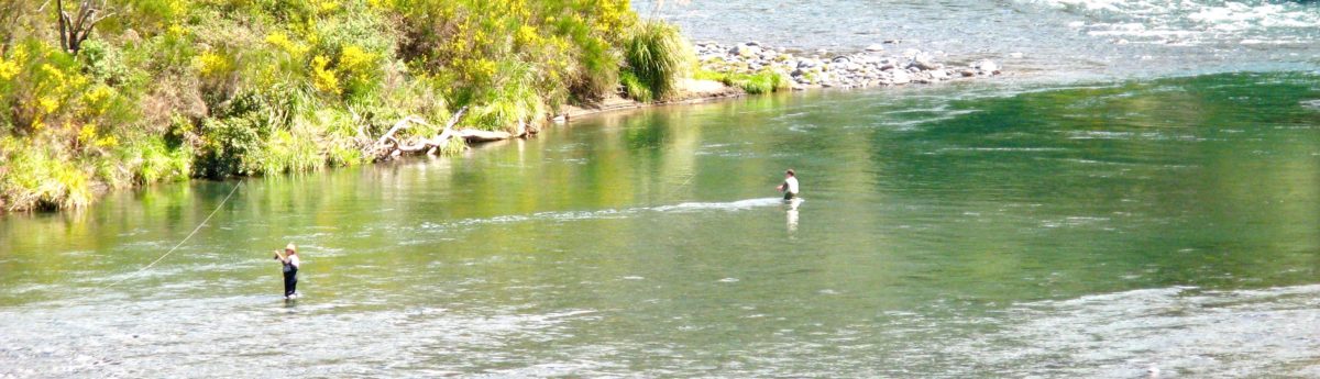
Anglers – particularly the wet lining trawling fraternity – may have noticed when standing deep in a river (they get bored and start noticing things like this) that the sand might not even be moving around their feet while there is a steady strong flow around their waist line.
 The way to counter this is to make sure wading anglers keep their feet wide apart to provide a pyramid shaped barrier leaning into the flow to improve their stability.
We call this stylish wading “waddle like a duck”.
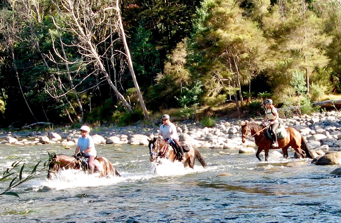
It is the best most helpful technique I have ever discovered and practised often enough to know it works for crossing a turbulent swollen river.
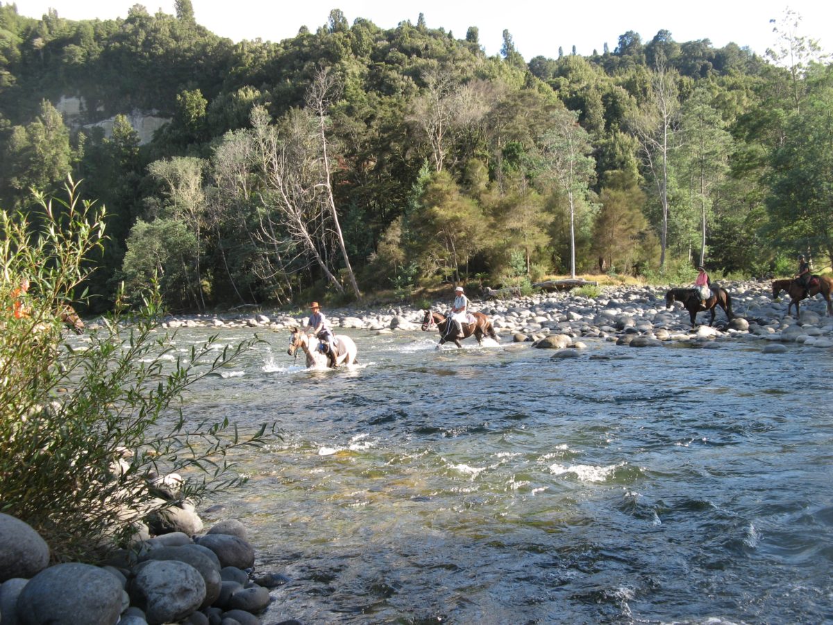
I have even noticed horses do it when crossing fast flows – like crossing the turbulent Wanganui-o-teao on right – in locations where even the most optimistic wet liner fishos could never hope to cross.
 Discharge is the volume of water moving down a stream or river per unit of time, commonly expressed in cubic feet per second or gallons per day.
In general, river discharge is computed by multiplying the area of water in a channel cross section by the average velocity of the water in that cross section:
As this diagram shows, river banks are irregular and tend to be flat at the bottom, have a steeply rising bank near the bottom, and then have flatter banks as they near the surrounding land surface. Since the river banks are irregular, the relation between guage height and stream discharge (flow) is not linear. In other words, when a stream’s guage height doubles from 3 feet to 6 feet, the flow can more than just double.

 The above diagram (I pinched it from somewhere and lost the source so apologise in anticipation…) shows this better than I can explain it.
At a guage height of 1 foot, our stream has the amount of water (flow) represented by the blue area.
 Let’s say it rains and the water rises to 2 feet. The additional flow is represented by the green area. Though the guage height doubled from 1 to 2 feet, the total flow, represented by adding the blue and green areas, is more than double the flow at 1 foot (the blue area).
This is because the river bank has flattened out as it went up from the bottom of the river bed. Since the river bank continues to flatten, by the time the river’s guage height goes to 4 feet, the flow, represented by all the colored areas combined, is many times more than it was at 1 foot.
Also, as you can imagine, the speed of the water flowing during a “Tongariro closure of the canal” is much faster than during low flow – thus, more flow at high water.
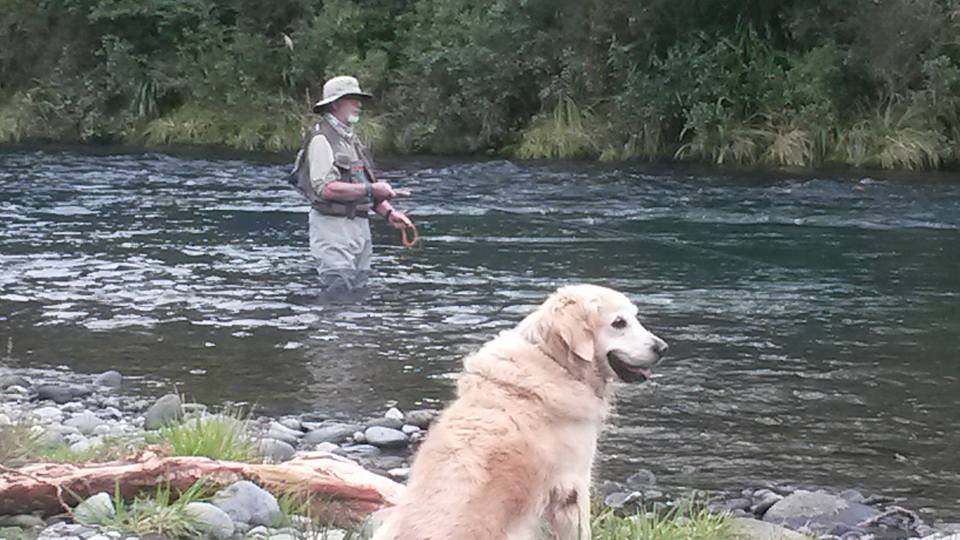
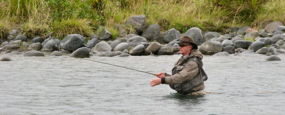
So please wade safely like Craig Caldwell from Te Awamutu below – watched over by his trained life guard – Molly.