
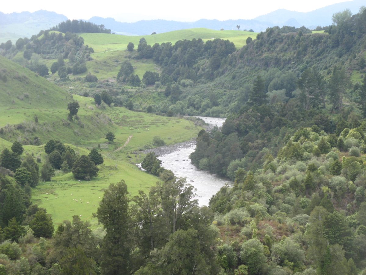
Above is the interesting unique narrow road access between Kakahi and the Whakapapa River. 
Did you realise this was originally formed as a cutting for a railway line to Taupo?
The Government of the day abandoned the scheme when they realised Turangi was closer and a far more important destination for a major city.
(Can you believe that in the 1960’s the main entry to Turangi, past the existing iSite, had a huge sign mounted on a power pylon saying “Welcome to Turangi, City of the Future”.)
But I digress…
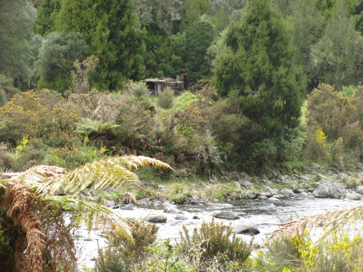
 The remains of foundations of the old rail bridge that was swept away in successive floods can still be seen at the end of the road.
 In reply to a question which we often get asked:
“Hi Ross..tomorrow we are going to extend our Turangi Tuesday to include Kakahi and going to check out the Whakapapa/Wanganui Rivers ..inspired by Peter McIntyre’s book.
Where do I go on the Internet to check out flows for these rivers?”
 First we recommend that if you enjoyed Peter McIntyre’s “Kakahi” book, then you would also enjoy “The Flies in my Hat” by Greg Kelly – first published in 1967 when he as about 79 – as he lived next door to McIntyre overlooking the Whakapapa before the Tongariro Power Project reduced the flow to about half of what it is today..
 The flow info for both W(h?)anganui and Whakapapa Rivers is thoughtfully hidden on the Genesis website where you would never expect it – under “Tongariro”? Don’t ask me why?
Go to our TRM website “links” and click on Genesis on the Tongariro flow chart.  During the rain last Sunday the Whakapapa peaked at 53 but at the time of replying was already back to normal 3-6 cumecs, but the Wanganui takes much longer to recover.
 During the rain last Sunday the Whakapapa peaked at 53 but at the time of replying was already back to normal 3-6 cumecs, but the Wanganui takes much longer to recover.
 So we suggested they go to Whakapapa at Owhango or via Kakahi down the old rail cutting and wade over to the island and fish under the cliffs – above the confluence of the Wanganui.
After a flood usually leave it a day as the fishing will be better on Wednesday… today.
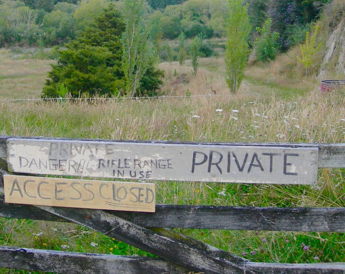
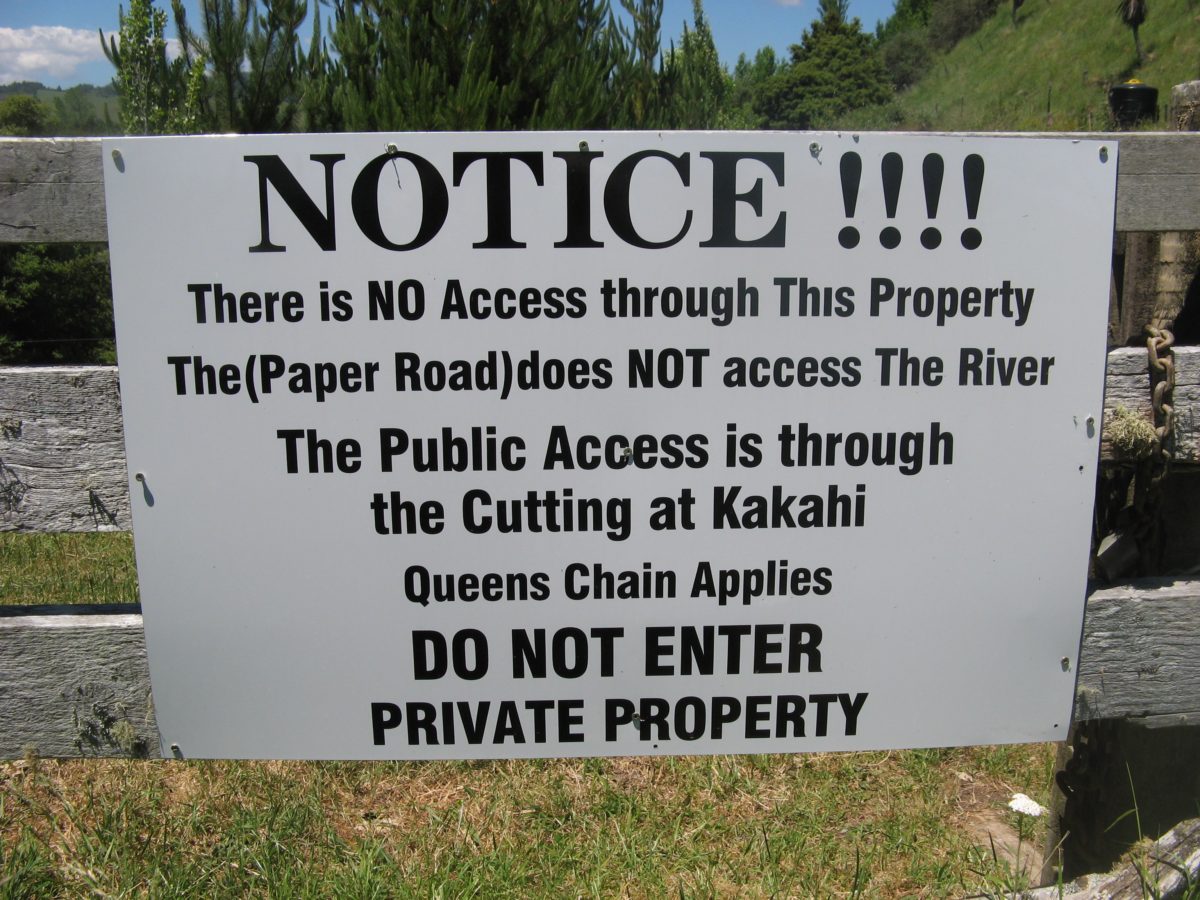
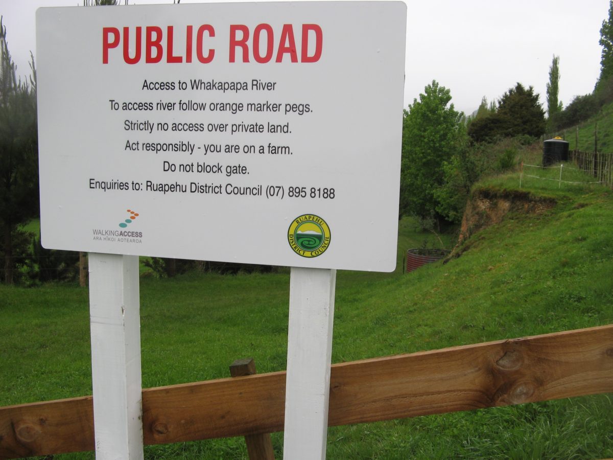 The other popular access is from Stone Jug Road – see notices on right.
 This access has some interesting history – see signage history on right – as previous land owners blocked it off from anglers access. But thanks to Fish & Game intervention and some heavy negotiations – they deserve full credit for this – it has now been reinstated over a “paper road”.
Again the Whakapapa needs to be crossed if anglers intend to fish up-river so take wading poles and a buddy to hang onto.
 Generally after any heavy rain we leave the back country rivers a few days to recover. This includes all others beyond the Wanganui catchment such as the Mohaka and Rangitikei fed from the Kaimanawas. After rain they are too dangerous to wade and often they often take several days to recover.
More info on these popular rivers can be found in Fish & Game brochures for Auckland/Waikato such as Coromandel rivers, South Waikato Spring Creeks, Waikato river, Waipa River system, Waitomo and Kawhia and Auckland lakes by contacting F&G RD 9 Hamilton or ph. (07) 849 1666.
TRM have most of the F&G brochures for North Island available for inmates. If there is a river missing then some evil angler has pinched all their brochures to keep you out. True!
See the difference in the recovery rates over the same period between the Whanganui at top and Whakapapa below.

