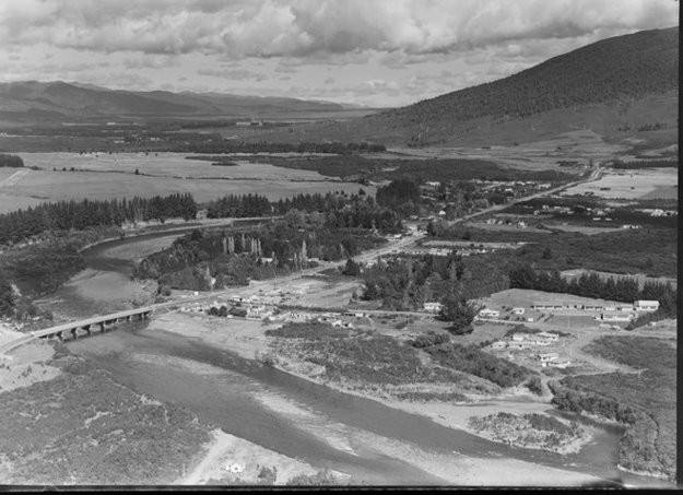
Historic aerials of Turangi – recognise the places? Can you spot TRM in the above 1964 image?
Or compare below… dated about 1960… Taupahi Road in foreground, SH1 now extends across the back of the property and Piri Road (previously Link Road) is the scrub covered bush below the houses with red roofs.

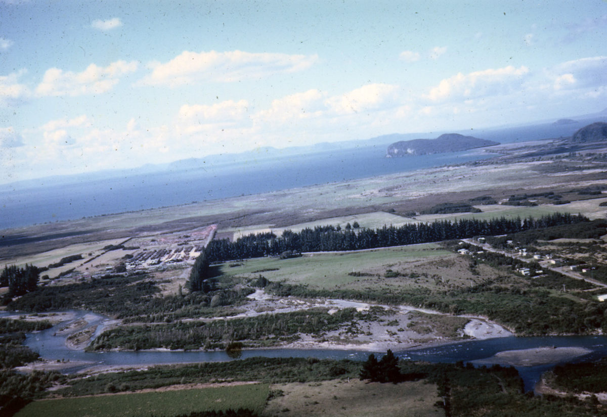
The Tongariro River flow was double the present capacity after the hydro scheme diverted much of the flow through the Tokaanu Power Station. See Fletchers Mill in the distance on left and Herekiekie Street on right.

The main commercial area comprised three shops and the bus sheds and garage opposite Bridge Lodge at the intersection of the main road to Tokaanu. The Tongariro High School was to the left on the Tokaanu Road – now blocked off.

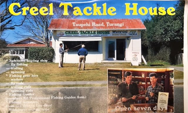
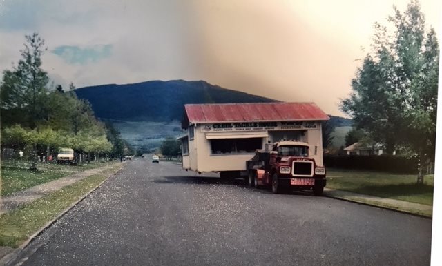
Taylors Camp was the main anglers accommodation from 1930’s through to 1960. The Creel Tackle House was moved down Taupahi Road to become part of Creel Motel complex.