Dramatic maps released showing state of crisis in nation’s wetlands
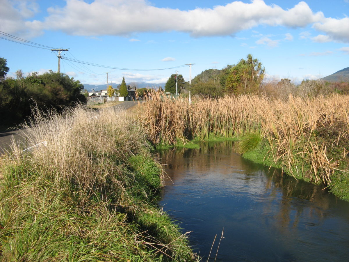
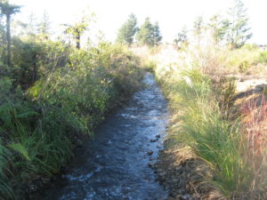
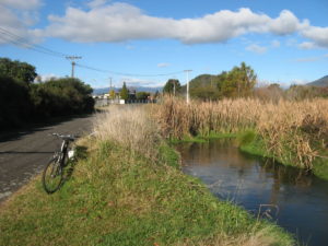
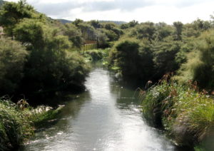
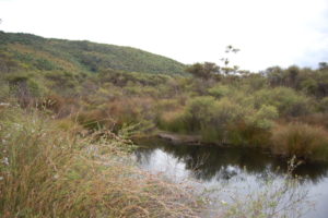
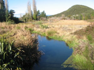 (Images of Tokaanu wetlands from TRM library – these wetlands are critical for the health of the Taupo fishery providing the breeding and nursery environment for smelt and other whitebait (Kokopu) species.
 The environmental group has released maps, based on historic soil analysis, that show the extent of wetland loss since human settlement began, and the few remnants that are left.
Its freshwater advocate Annabeth Cohen said 90 per cent of pre-settlement wetlands had been destroyed by agricultural and urban development.

Forest & Bird freshwater advocate Annabeth Cohen says not enough is being done to protect what’s left of the nation’s wetlands
“And we aren’t doing a very good job of protecting what’s left.”
 Wetlands played a vital ecological role, she said. As well as providing unique habitat for threatened plants, birds, and fish, they also improved water quality, and reduced flood risks to nearby communities.
 “The trouble is, our original wetlands have been drained for agriculture, and the now rare remnants can’t cope with the huge amounts of nutrient and sediment-loaded runoff, which degrades the quality of the water, making it very difficult for whitebait, eels, and other native freshwater species to survive there.”
 Before human occupation, New Zealand had an estimated 2.47 million hectares of wetland ecosystems. Today it has less than 250,000ha.
New Zealand has six wetlands recognised internationally by the Ramsar Convention.
 These were the Firth of Thames, Whangamarino and Kopuatai Peat Dome in Waikato; Farewell Spit in Nelson; Awarua Wetland/Waituna Lagoon in Southland; and the Manawatu River Estuary.
 “Wetlands can occur in many places, from estuaries to mountaintops, but very few of these special ecosystems remain,” Cohen said. “Those that do remain are often isolated and don’t provide the connection that wildlife need.”
She pointed out that, in Hawke’s Bay, it took the Supreme Court to save a rare oxbow wetland from the Ruataniwha water storage dam.
 “The Department of Conservation is responsible for managing our Ramsar sites, but in cases like the vast Whangamarino wetland in the Waikato, their efforts are hampered by poor management from [the] regional council.”
 The Whangamarino wetland is affected by sediment from a number of sources, including adjacent farmland.
“If an internationally recognised Ramsar wetland like Whangamarino is in such bad shape, what hope do our other wetlands have?
 “Regional councils must do more to protect wetlands, and that means better management of surrounding agriculture, enforcing rules to prevent illegal vegetation clearance and wetland drainage, and working with community, iwi, and DOC to restore wetlands that have become degraded,” Cohen said.
 The Hutt Valley was once marshland and swamp forest. At the time of European arrival, swampy marshlands extended several kilometres up the valley from the river mouth.
Wetland species such as raupo, flax and toetoe dominated. Beyond this, kahikatea, matai, puketea and rimu forest grew extensively on the valley floor. Most of the valley floor has since been cleared of the original forest cover, with only a few small remnant stands and trees remaining.
 Significant remaining wetlands in the Wellington region include Pencarrow lakes, Waikanae estuary, and Pauatahanui inlet. Forest & Bird’s Kapiti-Mana branch has put a lot of work into restoring the Pauatahanui Wildlife Reserve at Pauatahanui inlet.
WETLAND LOST:
HECTARES OF WETLAND PRE-HUMAN, NOW
Nelson: 769; 6 (99.2 per cent lost)
Gisborne: 67,008; 936 (98.6 per cent lost)
Hawke’s Bay: 113,362; 2458 (97.8 per cent lost)
Wellington: 122,804; 2774 (97.7 per cent lost)
Manawatu: 264,511: 6983 (97.4 per cent lost)
Auckland: 57,851; 2639 (95.4 per cent lost)
Taranaki: 40,278: 3046 (92.4 per cent lost)
Northland: 258,451; 14,114 (94.5 per cent lost)
Bay of Plenty: 43,089: 3304 (92.3 per cent lost)
Waikato: 356,516; 28,226 (92.1 per cent lost)
Southland: 450,984: 47,231 (89.5 per cent lost)
Canterbury: 187,115: 19,851 (89.4 per cent lost)
Marlborough: 12,785: 1545 (87.9 per cent lost)
Tasman: 26,570: 5219 (80.4 per cent lost)
West Coast: 358,182: 84396 (76.4 per cent lost)
Otago: 110,804: 27,050 (75.6 per cent lost)
TOTAL: 2,471,080; 249,776 (89.9 per cent lost)
– Stuff